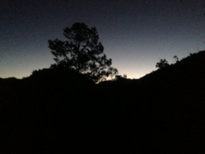
The Hype
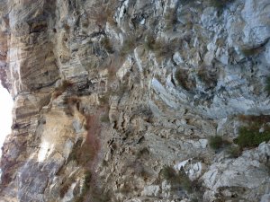
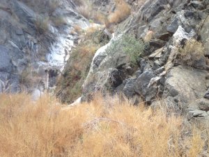
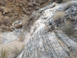
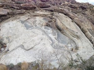
A long canyon that offers 13+ rappels, longest being about 270′. We down climbed a lot so the number of rappels might be more for some. Definitely better enjoyed in two days. Isolated, views of the valley throughout that tease that the canyon is almost done and unique rock formations.
Getting There
Trailhead Access
This canyon begins at the Cactus Spring trailhead. The approximate address is 70210 Pines to Palms Highway. On Hwy 74 near the Pinyon Fire station. Turn onto Pinon Flats Transfer Station Rd and follow the signs to the parking lot.
Shuttle
You’re gonna have to leave your return vehicle at the Boo Huff trail head. Look at map to see it’s exact location. Roughly, it is on your way to Lake Cahuilla . Take 58th until it turns into Jefferson St at the turn. You will come to a fork, right takes you to Lake Cahuilla and left takes you to Remington Dr towards The Quarry at La Quinta. Right at this fork there will be a dirt road on the left, it is hard to spot at first glance. This road leads to the Boo Huff Trail. It is a dirt road and 4WD is not necessary but high clearance is ideal.
From the Trailhead
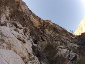
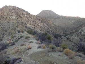
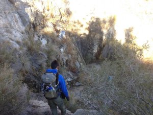
You follow Cactus Spring trail for about 2 miles at which point you leave the trail and follow a series of washes upstream that lead up to the upper reaches of Guadalupe. Please refer to map for exact drainage to follow. It is easy to follow the wrong one and end up in a wrong ravine.
The Canyon
Rappels: 13 rappels, up to 270′
There are numerous rappels, depending on your downclimbing ability. The longest is 270′, but can be done at 200′ if you are an advanced downclimber.
Additional Risk:
Good anchor building skills are required if any of the anchors aren’t there anymore.
Rappels exceeding 200′
Be prepared for impenetrable bushwhacking that releases some pretty thick pollen
Water
No water flow. We came across only a couple of pools, the deepest one about 5′ but you can avoid them completely.
Anchor Conditions
Anchors are all natural, require natural anchor building and evaluation skills.
Gear Recommendations
Rope – Longest drop is 270′, but note note that precarious ledges can make it possible to make do with only 200′.
Technical canyoneering kit including – helmet, harness, rappel device, biners, ascending kit, slings, webbing, rapides.
120′ webbing, 10 links
Flash Flood Danger: Low
The Exit
Once at the bottom of the last rappel, keep following the drainage until you meet the Boo Huff trailhead. Follow the trail that leads to the dirt parking lot. Alternatively, follow the creek, it leads to the parking lot as well. This is where your recovery vehicle will be at. This route is very difficult without a car shuttle.
Red Tape
Bureau of Land Management
Palm Springs South Coast Field Office
1201 Bird Center Drive
Palm Springs, CA 92262
Main Contact Number: 760-833-7100
Your permit is signing in at the trail head. You can then venture off into the entire Santa Rosa Mountains.
American Canyoneers
Most slot canyons are found on public lands managed by the US Government, although a few can be found on private lands. The US Forest Service, the Bureau of Land Management, and the National Park Service manage these lands. Each area tends to have unique management issues. As a result, there is not a uniform set of rules governing our use of these lands. For current issues related to canyoneering access, please visit www.americancanyoneers.org.